The Carson Valley Trails Association is pleased to announce that all of our trails are now available on Google Maps, from your smartphone, your computer, and on Google Maps embedded in the CVTA website.
Plan Your Hike
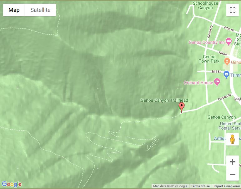
Using Google Maps, you can locate the CVTA trailheads and see the path the trails take to help you decide where you would like to go. The trails are indicated by dashed lines. In this example you can see the trail starting from the Genoa Canyon Trailhead with the switchbacks up the mountain:
Calculate Distance
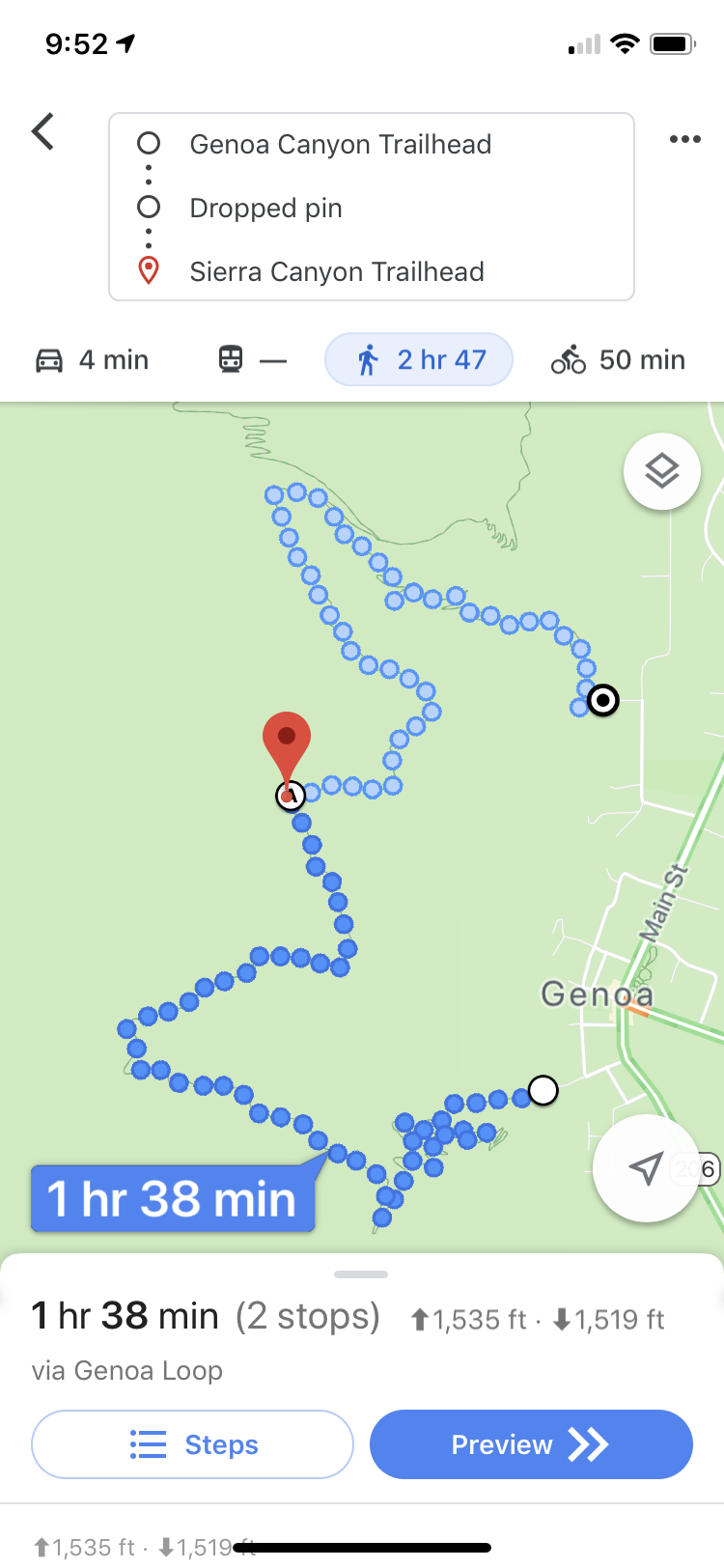
Google Maps has a walking mode which calculates the distance (use the Preview function) and estimated time for your hike and elevation changes, another great planning tool. You can use one or more dropped pins to tell Google Maps which route you wish to take:
Use Your Smartphone on the Trail
While you are on the trail you can use your smartphone to track your progress, and to determine which branch to take at intersections. If your do not have a cellphone signal on the trail you can still use Google Maps by downloading the map before you start your hike. Google “how to download google maps offline” if you need instructions on how to download a map for offline use.